
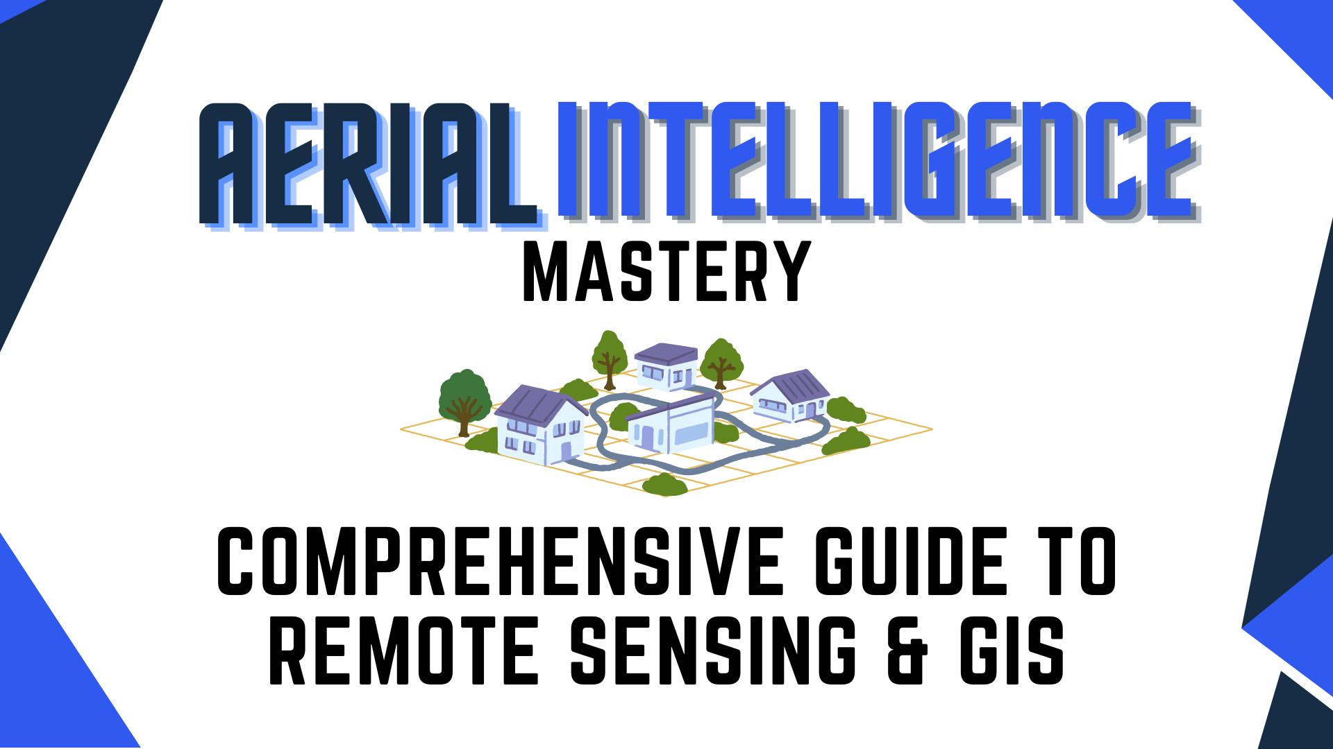
Mastering Aerial Intelligence: A Comprehensive Guide to Remote Sensing and GIS
Write your awesome label here.
Course features
-
Author: Jason San Souci
-
Level: Advanced
-
Video time: 30+ Min
Course overview
This course provides a foundation for students to understand and apply GIS and remote sensing concepts, particularly in relation to drone technology. It prepares them for more advanced topics and applications in these fields.
Certification included
Earn your certification in the basics of Remote Sensing & GIS by demonstrating your understanding of how they work, their formats and standard deliverables within the space.

Successfully Master: Remote Sensing & GIS Fundamentals
This course provides a foundation for students to understand and apply GIS and remote sensing concepts.
-
What Is GIS?
-
How Does GIS Work & GIS Basics.
-
GIS Formats
-
Remote Sensing & How It Works.
-
Standard Deliverables for GIS & Remote Sensing
-
Certification Exam
Get The Bundle & Save!
Jason San Souci
With over 20 years of hands-on experience in remote sensing and geospatial technology, I've commanded combat missions, led geospatial training, managed USGS and US Army contracts, and published extensively. As a thought leader, I've contributed to journals, webinars, and conferences, while also guiding a state-of-the-art geospatial solutions company through diverse projects for Defense, Intelligence, Disaster Management, and more. My expertise encompasses analytical procedures, algorithm development, and the integration of geospatial tools for impactful insights.
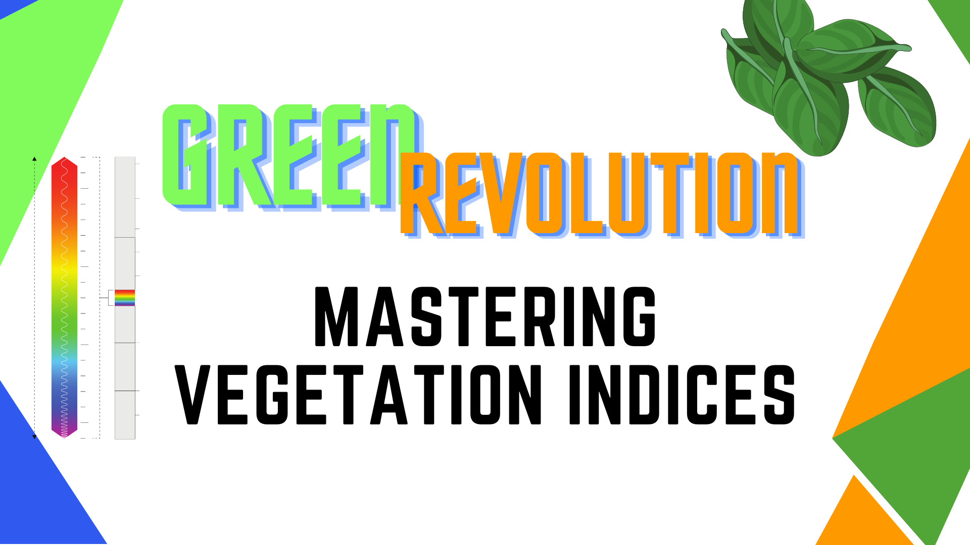
GIS 101
Learn the fundamentals of GIS and how it works as well as why it's important in this day in age!
Write your awesome label here.
Write your awesome label here.
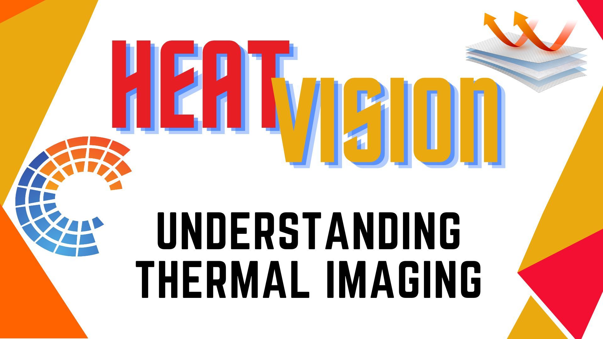
How Remote Sensing Works
Remote Sensing. What is it and how does it work? Learn the fundamentals of remote sensing and it's importance in aerial data acquisition.
See Jason's Other Courses
Who Is Blue Nose Aerial?
Blue Nose Aerial Imaging is a full-scale, nationwide, franchised commercial drone services provider. From Washington to Florida and New York to California, we lead innovation in the Drones-as-a-Service commercial sector. We use the latest technology and software for drone photography services, aerial inspection and surveying for a wide range of industries and projects of any size.
