
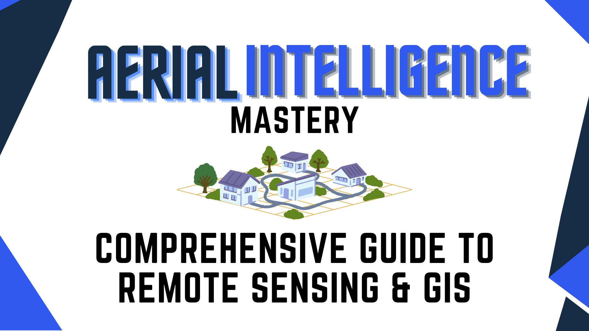
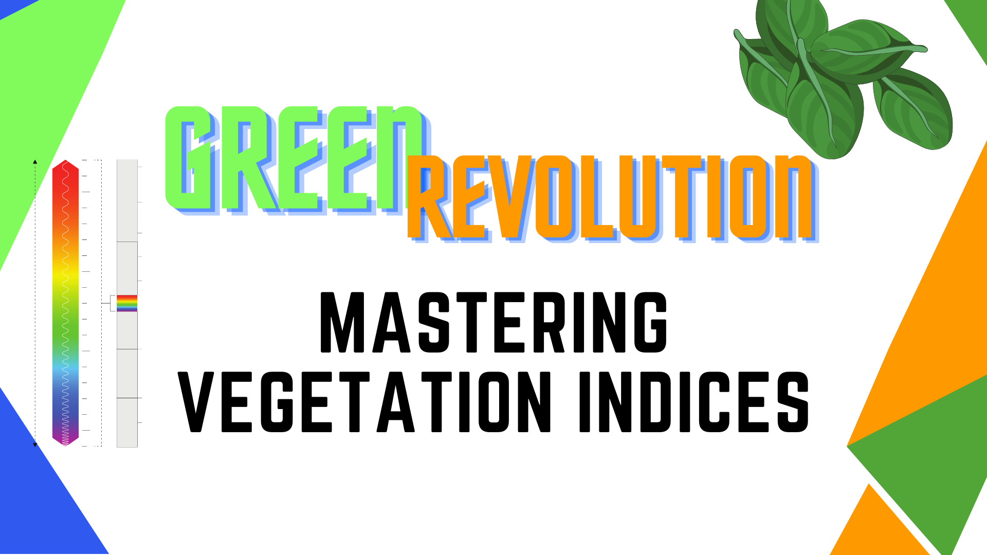
The Green Revolution: Mastering Vegetation Indices
Write your awesome label here.
Course Features
-
Author: Jason San Souci
-
Level: Advanced
-
Video time: 30+ Min
Course overview
This course offers a comprehensive understanding of vegetation indices, their importance, and how they are measured. It will provide students with a solid foundation in the use of drone technology for vegetation monitoring and assessment.
Certification included
Earn your certification by demonstrating your understanding of vegetation indices through the basics of light reacting with plants, how different sensors can read different ranges of light and much more!

Successfully Master: Vegetation Indices
This course offers a comprehensive understanding of vegetation indices, their importance, and how they are measured.
-
Learn the Art of Making
-
Develop your professional skills
-
Become a better professional
-
Ultimate Distance Training
-
Become a Super Learner
-
Master Certification in Market Research
Get The Bundle & Save!
Jason San Souci
With over 20 years of hands-on experience in remote sensing and geospatial technology, I've commanded combat missions, led geospatial training, managed USGS and US Army contracts, and published extensively. As a thought leader, I've contributed to journals, webinars, and conferences, while also guiding a state-of-the-art geospatial solutions company through diverse projects for Defense, Intelligence, Disaster Management, and more. My expertise encompasses analytical procedures, algorithm development, and the integration of geospatial tools for impactful insights.
What Is Vegetation Indices?
Learn what vegetation indices are and how it's useful in varying applications
Write your awesome label here.
Write your awesome label here.
Understanding How Light Reacts With Plants
Learn how light works within plants and how you are able to observe this phenomenon with multispectural imaging.
See Jason's Other Courses
Who Is Blue Nose Aerial?
Blue Nose Aerial Imaging is a full-scale, nationwide, franchised commercial drone services provider. From Washington to Florida and New York to California, we lead innovation in the Drones-as-a-Service commercial sector. We use the latest technology and software for drone photography services, aerial inspection and surveying for a wide range of industries and projects of any size.
